- Home
- Drone Roof Inspection
Drone Roof Inspection in South Fulton, GA
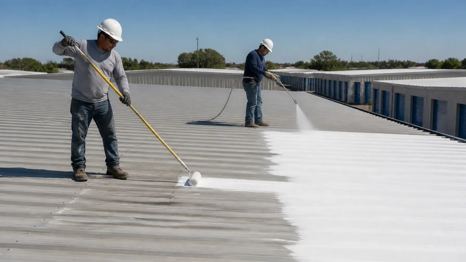
A big distribution roof is slow to walk and quick to image. A drone covers the field in minutes and lets the crew see ponding, patched areas, and edge damage from above. It cannot probe a seam or feel a soft deck, so it leads the hands-on walk instead of replacing it. In South Fulton, GA, logistics, flex, retail and office roofs all call for an aerial pass at times, and the images set the order of work. We use them to mark roof zones, spot suspect details, and decide where a person needs to stand.
Building use: roofs that suit the aerial pass
Drone work pays on roofs that are large, hard to reach, or unsafe to walk before the deck is checked. The South Fulton Development Authority lists logistics and distribution among the city's strengths, and the warehouse roofs that serve those uses are a natural match. The adjacent Fulton Industrial District is a large industrial area by the city's account, and the Camp Creek Business Center is a multi-property business park by East Point's description. A park with several properties means several roofs to survey, and an aerial pass sorts them quickly.
Tall buildings, steep parapets, and roofs with fragile skylights also benefit. The drone gives a first view without a ladder or a lift. It also limits foot traffic on aged membrane, which protects a roof that is already near the end of its life.
Roof mechanism: what imagery can and cannot show
High-resolution photos show ponding stains, blisters, patches, debris, damaged flashing, open edge metal, and displaced equipment. Thermal imagery, when taken at the right time, shows temperature differences that can point to wet insulation. Both are indirect signals.
A photo cannot tell whether a seam is bonded. It cannot show the layer stack or the deck underneath. Thermal data depends on sun, wind, and roof color. For this reason we treat drone data as a map of where to look, then confirm with probes and test openings. A finding is not final until someone has touched the roof.
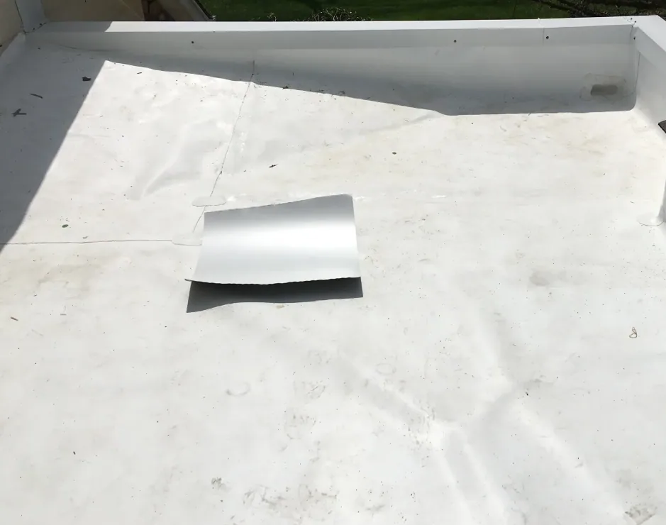
Color and surface matter. A white membrane hides dirt trails that a gray one shows. A gravel surface blurs ponding edges. A coating hides patches under a uniform finish. Knowing how the surface changes the image helps us read it correctly, and it tells us where an oblique flight angle or a second pass will give a better look.
Inspection findings: from flight to finding
After the flight, images are stitched into a roof-wide view and tied to the roof plan. We mark each suspect area and assign it a number. Then a ground crew walks the marked areas with a probe, a moisture meter, and a camera. Findings are rated and written up by zone.
For roofs where moisture is the question, thermal passes can be paired with an infrared moisture survey. For any roof that needs a full condition record, the aerial set joins the report prepared by the commercial roof inspection. The images stay with the file, so a later visit can compare conditions over time. Images are named by roof zone and flight pass, so a comparison flight lines up frame to frame.
Each numbered area in the report lists its location on the roof plan, the image number, the condition seen, and the recommended check. A property manager can read the list in order and see what the crew will do on the ground. Areas that need no action are listed as well, so the file shows what was examined and found sound.
Scope options: single flight, comparison set, or program
A single flight answers a question about one building. A comparison set repeats the flight after a storm or at the same season each year, and the images are laid side by side. A program covers several buildings under one schedule, which fits owners who need a portfolio view for a multi-site roof program.
The scope also names the deliverables: raw images, a stitched map, annotated findings, and a written summary. Owners that run a capital plan can feed the results into roof asset management records for each building.
Access and sequencing: airspace, weather, and permission
Drone flights need clear airspace, a pilot with the right authorization, and permission from the property owner. Parts of this market sit close to Hartsfield-Jackson Atlanta International Airport, so airspace checks come before any flight. Weather matters too: wind, rain, and low light limit flights.
We coordinate with the facility manager about ground safety, so people and trucks stay clear of the launch area. Flights over occupied parking and loading areas follow the site's safety rules. Privacy is respected, and images are kept to the roof and its immediate surroundings.
Battery life and wind set the pace. A large roof may need several short flights with pauses between them, and gusty conditions end a session early. We plan for that in the schedule and keep the ground crew ready to start probing as soon as the first images are checked.
Timing: before the season and after the storm
Two windows give the best value. The first is late winter, ahead of the spring hail and tornado peak. NWS climatology puts April at the top of the large-hail calendar for north and central Georgia. A baseline set taken before that peak makes after-storm comparison clear, and it lets the crew rank which roofs to walk first.
The second is right after a storm. Damaging wind is a year-round visitor to the Peachtree City warning area. A same-week flight records missing membrane, displaced equipment, and debris before cleanup changes the picture, and it shows the crew which roofs need repair first.
Send the building list and the site contact
Can a drone replace a hands-on inspection on a warehouse roof?
No. A drone shows what is visible from above, and it is a fast way to map the roof. It cannot probe seams or test insulation. We use it to decide where the crew should stand and what to check, then confirm every important finding by hand. The two together cost less than walking every square foot with a probe.
What does thermal imaging add to a drone flight?
It shows temperature differences across the roof surface. Wet insulation often holds heat longer after sunset, so a flight at dusk or in the evening can highlight it. Sun, wind, and roof color all affect the result. We treat thermal patterns as leads, and we confirm them with moisture readings or core cuts.
How do you manage flight rules near Hartsfield-Jackson?
We check airspace status for each site before any flight. Some locations need prior authorization, and some days may be restricted. We plan the flight window, request any needed approval, and keep the pilot in contact with site staff. If a flight is not allowed, we use a lift or a ground-based walk instead.
What is delivered after the flight?
Annotated images, a stitched roof map, and a written summary of findings by zone. If the owner asks for it, we add numbered photos tied to the roof plan. The set is kept for later comparison, so the next flight can show change over time on the same roof.
Can drone images help with an insurance claim?
They can document damage across a large roof in a single visit. Images show date, location, and extent of visible damage, which helps the adjuster and the owner. The ground crew adds close photos and measurements. The policy and the adjuster decide coverage. Clear records speed the process.